
 English
 Follow us


![[Tancar]](/plantilles/bergueda/img/tancar.png)

From Fígols to Fumanya
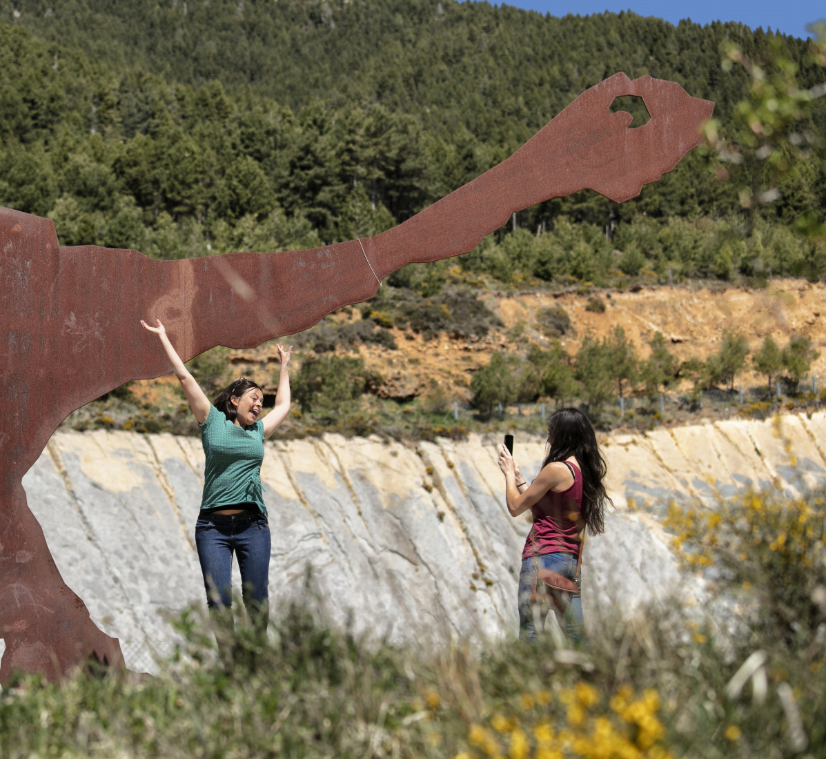
For a long period (from the mid-nineteenth to mid-twentieth centuries) in Berguedà there were two important economic sectors: textile, thanks to the large number of industrial colonies in the Llobregat-i river. on the other hand, mining. Various mines - mainly coal - were being developed and developed in numerous areas, even creating residential colonies (such as Sant Corneli). Working on one of these extractions appeared huge dinosaur footprints formed 65 million years ago, on a land now converted to rock. This route shows several elements linked to both the mining and the dinosaur deposit.
Technical sheet
Route number: 23
Town: Fígols
Type: Easy
Starting point: Plaça Sant Romà de Sant Corneli (in front of the Museum de les Mines de Cercs)
Ending point: Plaça Sant Romà de Sant Corneli (in front of the Museum de les Mines de Cercs)
Distance: 15 Km
Time: 3 h.
maximum altitude: 1667 m.
height difference: 577 m.
Signals: Not signed.
To organise
Cartography: 5-Berga. 1:25.000 Institut Cartogràfic i Geològic de Catalunya Rasos de Peguera - Serra d’Ensija 1:25.000. Ed. Alpina
More information
Bibliography: Terra de carbó, guia de la ruta minera de R. Serra, A. Prat i J. Picas. Ed. Zenobita Inventari de Patrimoni: invarquit.cultura.gencat.cat
Documents and links
[TambeInteressar]
- >

- >
- >
OFICINA DE TURISME DEL BERGUEDÀ
Carretera C16 Km 96
08600-Berga. Phone (+34) 654 125 696
Monday to Friday: 9 to 14h.
Saturday: 10 to 14 & 16 to 18h.
Sunday and holidays: 10 to 14h.
E-mail: turisme@elbergueda.cat
![]()
ACKNOWLEDGMENTS

[Premsa]
Other


Follow us


