
 English
 Follow us


![[Tancar]](/plantilles/bergueda/img/tancar.png)
Volta al Pradell, La Trapa i el Collet
Guardiola de Berguedà-Sant Corneli-Fígols-coll de Fumanya-coll de Pradell-coll de la Trapa-Saldes-Maçaners-el Collet-Guardiola de Berguedà
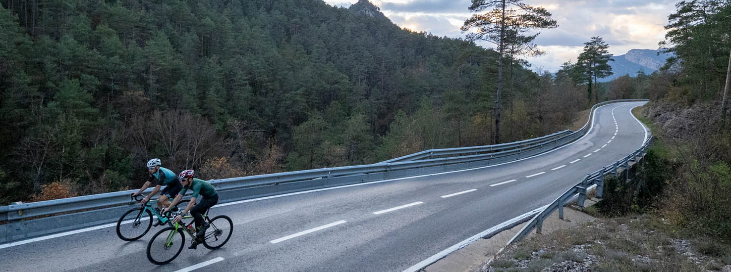
The Coll de Pradell is one of the mountain passes for road cycling that has become more renowned in recent years, due to its inclusion in the “mining route” cycle tour and for being considered a very difficult pass with slopes of more than 20%.
The pass is located at 1,735 meters above sea level and acts as a divider between the Serra d'Ensija and the Cingles de Costafreda, separating the valleys of the Coll de Pradell stream and the torrent de l'Aigua saltada.
This itinerary is a circular proposal that will crown this pass from the Sant Corneli slope, first climbing the Coll de Fumanya. We close the route towards the Coll de la Trapa and return through the Saldes river valley, with good views of Pedraforca from different sides.
Description
The route begins in the square of the church of Guardiola de Berguedà. We must continue about 5 kilometers down the C-16 - very careful with the cars that pass at high speeds! - until we reach the entrance of the Baells reservoir and the Cercs thermal power plant. Here, we will take the BV-4025 road on the right to begin a steep climb to Sant Corneli and the Coll de Fumanya. We must take a good pace since the climb lasts a little more than 10 km
After the Coll de Fumanya we pass in front of the dinosaur interpretation center and continue down to the Pla de la Barraca to catch our breath. The Coll is the reception point of the Vallcebre active space that brings together various adventure activities in the natural environment. In this plan, we take the road that goes to the left in the direction of Saldes from the Coll de Pradell to begin -probably- the hardest ramp in the entire region. It is 4 K, until we reach the summit but with sections that exceed 20% of the slope.
Once we have reached the summit, we will begin the descent that will take us to the Coll de la Trapa where we will join the B-400 road which we will follow to the right towards Saldes. We will descend until we pass the bridge over the river -after Saldes- where we will begin the ascent to the last pass of the day: the Alt de Maçaners. A pass of little demand. From Maçaners we will only have a long descent until we find the C-16 again in El Collet which we will follow for about 5 Km in a northerly direction to return to the starting point of the route.
Technical sheet
Route number: 15
Town: Guardiola de Berguedà
Type: Difficult
Distance: 50 km.
Time: 3,5 hores
maximum altitude: 1739 m.
height difference: 1561 m.
Documents and links
OFICINA DE TURISME DEL BERGUEDÀ
Carretera C16 Km 96
08600-Berga. Phone (+34) 654 125 696
Monday to Friday: 9 to 14h.
Saturday: 10 to 14 & 16 to 18h.
Sunday and holidays: 10 to 14h.
E-mail: turisme@elbergueda.cat
![]()
ACKNOWLEDGMENTS

[Premsa]
Other


Follow us


